Sunday, March 3, 2013

Donut Falls Snowshoe Hike


I had a busy day yesterday and was not able to get out until late in the day, so I grabbed my gear and headed up Big Cottonwood Canyon. I drove 8.8 miles up the canyon and parked on the right side near the locked gate. This is a popular tubing area, and there were several people leaving, as it was getting dark. There was a guy next to me named Don, so we shared hiking stories on the way up the trail. He had been many places that I had been (Wind Rivers, Coyote Gulch, local hikes) so it was fun.  This is an easy hike, 1.6 miles each way, but there is a spot that you have to climb down or slide about 5 feet, no big deal. This spot is maybe 100 yards from the falls.  We met a couple of groups coming down, and there was a group just leaving as we got to the falls.  Don did not have snowshoes on, and did not want to worry about slipping on the short steep last 50 feet, so he turned around.  This part is actually easier in the winter than summer, as most of the rocks are buried in snow.  It was easy to climb down into the cave with my snowshoes on.  The waterfall pouring down through the ceiling of the cave was almost completely frozen, and even though it was pretty dark outside, light shown down through the falls like fiber optics!  I shined my wife's very bright little flashlight on the falls and took a few pictures.  Then I headed back to the car by starlight. It was beautiful. Just as I saw the first stars, I heard the hoot of an owl, and I thought of my late father, who loved owls, and was a night owl himself, and thought he was perhaps saying "hello" to me. I had 2 headlamps and a flashlight, but did not use any of them.  A short way back down the trail, I saw a branch off to the right that goes to the Spruces Campground.  Two couples headed up to the falls with headlamps on were glad I had my gps to tell them they had .75 miles to go.  The entire hike took me 1 hour and 20 minutes, and was a fun little hike!

Not much daylight left as I parked at the trailhead.

A lone pine standing guard over the small
Big Cottonwood creek.

My trekking poles content to stand guard at the cave entrance.

I was surprised how much light shined through the
frozen falls this time of evening!

A beautiful evening for a hike!

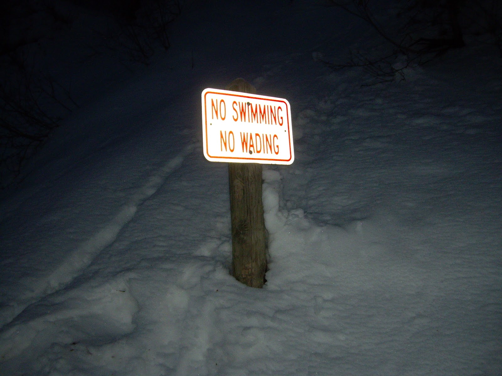
I was not tempted to swim or wade tonight!

Saturday, February 23, 2013

Rattlesnake Gulch to Church Fork


This is another Millcreek Canyon hike that starts about one mile past the toll booth. Park on the left side of the road and head up Rattlesnake Gulch. At .7 miles there is a sign for the Pipeline Trail. Go to the right. From this point, there will be some more switch backs, then the trail is easy and quite level. You will have a nice view of the Boy Scout Camp, Camp Tracy.  After a couple of miles, the trail will drop down into a gorgeous area of large pines.  At this point you will see a sign pointing to the trail to Grandeur Peak to the left, but I went down to the right and through the Church Fork picnic area. When you get down to the main road of Millcreek Canyon, you will have gone 3.3 miles. From this point I took off my snowshoes and hiked down the road to my vehicle. This was 1.7 miles, and I had gone exactly 5 miles total.
A large fin of rock just before the switchbacks begin.
I was told it is a remnant of an ancient stream bed.

Along the Pipeline trail

It snowed the entire hike, but the sun
peaked out occasionally.

I went to the right today.

One more chance to go to the left.

I just couldn't stop taking pictures
on this gorgeous snowy day!

Remnants of pipeline straps.

For some reason I had a hunger for raw carrots
after seeing these icicles.

An apparent alien buried in the snow!

Getting close to Church Fork

Glad I had my sunglasses today

Top of Church Fork area

This sign tells about mining claims donated
to the Boy Scouts in 1919. 

Sunday, February 10, 2013

Silver Fork Snowshoe Hike

This is an easy hike and a nice get-away. You can find details on this and other hikes on a cool website:http://www.snowshoeutah.com/Table-of-Contents.html  I drove 12 miles up Big Cottonwood Canyon and parked in the lowest Solitude parking lot. I then followed the road in the lower right side of the lot. This goes past a bunch of cabins. One was for sale for  $1, 750,000.00!  When you can see that the road is ending (about .9 miles from the parking lot), look for a trail off to your right. Where the trail forks, stay to the right.  This is a beautiful area with lots of large pines.  At about the 2 mile mark (from the parking lot) you get to a blocked-off mine. My gps map identifies this as the Alta Tunnel.  There are some conduits coming out of it, hooked up to a couple of solar panels. I wonder what this is for. Perhaps some kind of monitoring equipment or maybe water pumps?  I considered crossing the gulch and making this a loop hike, but the powder snow on the north-facing slope was so deep that I sank to my knees even with my snowshoes on. Maybe next time I will wear the tails on my shoes for more buoyancy.

If you want to use this outhouse you will have
to shovel out a couple of feet of snow!

Nice large pines

Trekking poles ponder the saying, "Curiosity killed the cat."

Mouse tracks remind me of stitching on
a baseball.

The snow on this fallen log looked like a giant mouth, complete with a white uvula in back!

A busy woodpecker

Blue Jay on tree right next to woodpecker

Friday, February 1, 2013

Rattlesnake Gulch Snowshoeing

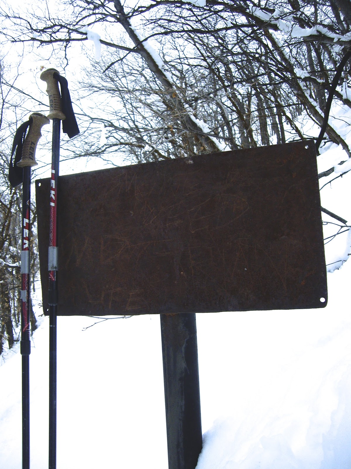
This morning I drove up Millcreek Canyon, just under one mile from the pay booth. I parked on the left side of the road near a sign that said Pipeline Trail.  It was still dark, so I took my time putting on my snowshoes, so I would not have to use my headlamp.  I headed up the gulch following some large switchbacks on a moderately steep trail.  I remember hiking this trail with Lizzy one summer, and we took a "shortcut" that was almost impossibly steep and difficult to get up. It took us near a cave entrance that smelled very strongly of dead animal, and we did not go in there, not only due to the odor, but due to the fact that this is mountain lion country, and I suspected that may be a mountain lion den.  I  stayed on the main trail today, but saw mountain lion tracks in the snow crossing the main trail toward the cave.    About .7 miles up the gulch I came to a sign pointing to Grandeur Peak to the right, and Pipeline Trail to the left. I went to the left. At this point the trail levels out and follows the old pipeline bed. There are a few pieces of pipeline fittings along the way. There is also a very sturdy old metal sign with the lettering long-gone. Perhaps it said, Do Not Walk On Pipeline?  The cool thing is if you hit it with your trekking pole, it sounds a great gong, exactly like a church bell!  You can hear it reverberating for about 20 seconds.
     As I continued along the trail, the sky was gorgeous in the East with the rising sun.  Just as I rounded a curve in the trail, the sun struck the Oquirrh Mountain peaks across the Salt Lake Valley, illuminating Kennecott Copper Mine.  The entire hike took me about 2 hours and was 3.5 miles long.

Map at trailhead

Trekking poles resting after steep hike

trekking poles had a competition
to see which could make the
loudest gong!

Still dark enough to see the waning moon

I saw 7 mule deer

rounding the curve

Kennecott Copper Mine to the West

Sunrise in the East

Interesting geological formations, look like geodes

Sunday, January 20, 2013

Snowshoeing on Guardsman's Pass

A cold, clear night with sparkling snow

Trekking poles assist in measuring depth of snow


It has been a couple of weeks since I have been able to get into the mountains, so last night about 6:30 I headed up Big Cottonwood Canyon to get out of the smog and inversion of the valley.  I happened to be listening to the radio on the way up, but it was a talk show about UFO's and alien abductions, and it kind of creeped me out, so I turned off the radio. I don't mind going into the mountains alone at night when I can't find someone to go with me, but I do not recommend thinking about aliens and UFO's when alone! Near the top of the canyon, I made a sharp left at the sign that says' Guardsman's Pass closed for winter'. I drove a couple of miles on dry road to the locked gate, Be sure to pay attention to the 'No Parking' signs, because you will be ticked/towed even in the middle of winter!  I strapped on  my snowshoes, grabbed my pack and headed up the road.  I marveled at what a difference a 30 minute drive up the canyon can make: No smog, not a cloud in the sky, and incredible number of sparkling stars in the night sky.   As usual, I left my thermometer home, but it was probably a good ten degrees warmer than in the valley, maybe  a temperature of 25 degrees. Since it was so warm, I left my down jacket in the car and wore a light breathable jacket. It does not take long to generate a lot of body heat while snowshoeing, and you want to avoid sweating a lot, because it will be really cold when you stop moving.   I hiked up the road to a place we have snow camped before, to check out the conditions. I stepped off the road into about 3 feet of light powder, and swept some of it away to do a test dig. A great way to dig a snow cave is with a regular wood saw. I cut out blocks of snow easily and scooped them out.  The snow was over 5 feet deep, and normally that would be plenty for a snow cave, but with 3 feet of powder, I want to find a spot that has been more exposed to the sun than the North-facing slope I was on.  I plan to camp up here next weekend with Jake and his friends. I will continue this blog after that.
Lesson learned: If you see black plastic filings in the snow when you are sawing, you may be cutting into your snowshoe! Oops! No harm done, just a little notch for me to laugh about on future hikes!

      Update for 1/26/2013:  I did not end up going snow cave camping Friday due to an unusual ice storm the day before, causing very slick roads. However, I did go back up to Guardsman's pass to do some more snowshoeing Saturday.  I hiked up to Scott's Pass. See a good description of this hike on the Salt Lake Tribune Outdoors section hike of the week: http://www.sltrib.com/csp/cms/sites/sltrib/Outdoors/hikes.csp?hike=338.  On my way up I saw a 2 foot-tall snowman in the middle of the road. I took a picture of it and wondered how long a white snowman would last in the middle of a white road frequented by snowmobilers. Alas, on my way back, I noticed that the snowman was no more.  I did rescue the 1988 quarter that had been used for its nose.
2 foot tall snowman. ( I did not get an after shot)

Even an outhouse looks cozy in the snow!

Part of Great Western Trail

Sadly, my trekking poles had nothing to say about this outing,
as I left them hanging in the garage!

Friday, December 21, 2012

Terraces to Elbow Fork Snowshoe Hike

Sign at top of Terraces picnic area
 Today I had a gorgeous snowshoe hike in Millcreek Canyon.  I drove about 3.8 miles up the canyon (from the fee booth) and parked on the left side of the road across from the Terraces picnic area.  You can get to Elbow Fork by going up the road about 1.5 miles from this point, but I took the long scenic route, which made it just over 3 miles to Elbow Fork.  I followed the road up to the top of the Terraces picnic area. This is only about 1/4 mile, but it gets your heart beating, as it is pretty steep. Just past the restrooms (they are locked), you will see a trailhead sign. If you go to the right, you will go to Bowman Fork, which I have done before. But today I went to the left. It is level and easy at first. Then it goes up some fairly steep switchbacks up to a ridge. I was glad others had made tracks before me, as I am not sure I would have been able to stay on the trail with this much  snow.  It was fun to be on a hike where I actually needed snowshoes.  The view from the ridge is fantastic.  You can see down into Porter Fork, down into the Salt Lake Valley, and you can see across Millcreek Canyon where the pipeline trail runs. The ridge has many ups and downs, but is fairly easy.  There is one spot where you have to climb over a rocky spine, but there is nothing dangerous or difficult, and there are no areas where you need to worry about avalanches.  At the top of the ridges, you finally go down some switchbacks to a bridge near Elbow Fork.  I did not start hiking until 1 PM, and went a leisurely pace, taking lots of pictures. It took me 1 3/4 hours to Elbow Fork, then 35 minutes to go down the road to my car.  I saw a lot of deer tracks along the way, and one set of moose tracks.  I was glad I remembered sunscreen and chapstick, which I often forget. I wished I had worn my gaiters, as I kept getting snow down my boots.  I also wish I had brought my thermometer, as I wondered what the temperature was. It was 24 degrees in the valley, and a bit cooler in the mountains, although I was plenty warm with just a light jacket and gloves. I brought a hat but did not wear it.  Many people were bundled up like Eskimos.
     The weather could not have been more perfect.  Along the way, I remembered that today was the day some people thought would be the end of the world (The end of the Mayan Calendar).  I decided that if this were the end of the world, other than having my family with me, I could not think of a better way to spend a last day!  I did this hike again on Dec 29 with two of my sons and a nephew. The day was gorgeous again, and we placed a geocache on the ridge.
See http://www.geocaching.com/seek/cache_details.aspx?guid=17d63d13-6bf0-4460-865a-51f70f595604.
Looking across canyon toward Mount Aire

View of Salt Lake Valley and back of  Grandeur Peak
Daniel, Jake and Tyler

A rare photo of myself in my blog (since I am usually behind the camera), between Daniel and Jake

Where we hid the geocache

My trekking poles resting next to the amazing alpaca wool hat
my Sweetie knitted for me.

A level part of the trail

Hiking along the ridge

Almost to Elbow Fork

Sun filtering through pines