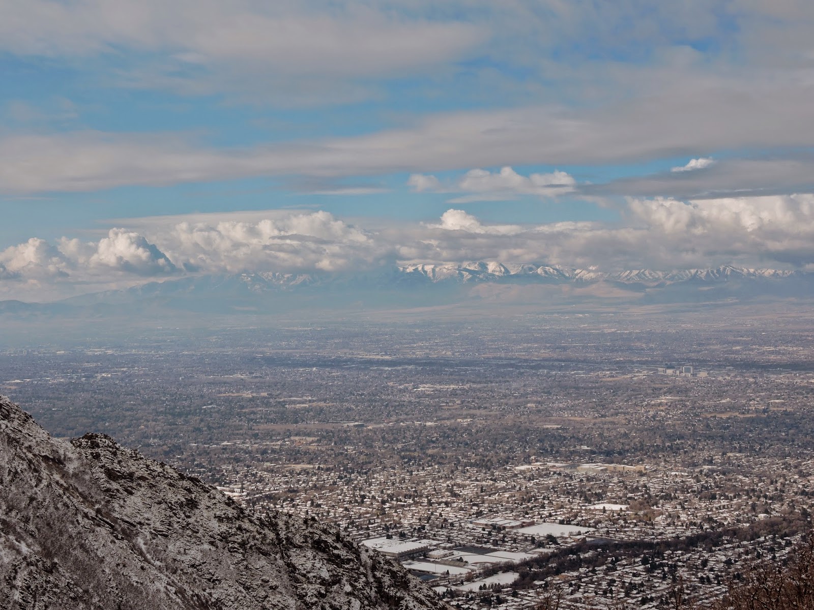
The trail begins at the Northeast corner of the parking lot, heads East then South. At about 1/3 mile, you can choose which trail you want to use. The main trail goes steeply uphill just past the gulch. If you go into the gulch, you can take one of several trails that allow you to hike along the North ridge where you can look down into Parley's Canyon. This trail will eventually join the main trail to the summit. (The coordinates to this junction are: N 40*42.460' W111* 46.508') There was only about 3" of snow for most of the trail, but once I reached the ridge to the summit, the snow was several feet deep, but the view was fantastic and well worth the hike. ( GPS coordinates of the summit are: N40* 42.425' W 111* 45.585') I went up the North ridge and came down the Main trail, which added a little to the distance. I was the only one on the North ridge and it was fun to watch other hikers ascend the main trail to my right. Several years ago I was making this climb in the spring of a year where there was quite a bit more snow. I had been following some deer tracks, and just past the point where the two trails meet, there was a bunch of deer fur and some blood, then no more deer tracks, but there were some cougar tracks! I could see in the snow where the cougar had lain on it's haunches waiting for the deer, then springing for it!
I did not expect to find any geocaches on this trip due to the snow, but there are several, and I was able to find two of them in spite of the snow: One is called, Utah Jean is My Hero 2: Gps coordinates are: http://www.geocaching.com/geocache/GC1Y72T_utah-jean-is-my-hero-2?guid=33867f6d-1aba-410a-a88d-aac05c4d7612 The other is called EAGLE 11. The coordinates are:
http://www.geocaching.com/geocache/GC3FVG5_eagle-11?guid=20eb42c5-7368-45c2-9fda-658b6ac26ef3
 |
| View near the junction of North and Main trails. |
 |
| View on the way down. |
 |
| I could actually hear what must have been Skyline High school Marching Band from way up here! |
 |
| View of Mount Olympus from the summit. |

I love the view of that hike! I have only ever done it in the Summer when there are tons of rattle snakes, I should try it in the snow!
ReplyDelete